

By: Catherine Hamacher
While we won't be running with friends or giving out high-fives in the near future, exercise with proper social distancing is a great way to pass the time and stay healthy!
In 2017, a friend and I embarked on what might be one of the silliest things I’ve ever done. We ran from Manchester, Missouri, to Lafayette Square in the city of St. Louis, a distance of over 18 miles.
Route 100, known as Manchester Road in St. Louis County and Manchester Avenue in the city, is a State Highway running 122 miles from the city to Linn, Missouri in the west. It's also well-marked and fondly remembered as Route 66--the historic road that once stretched from Chicago, IL to Santa Monica, CA.
We followed the route below. Turns out, there are a lot of urban planning considerations on a trip like this . . .

Pedestrian safety varies widely. Because there are limited or no sidewalks on stretches of Manchester Road, particularly around 270, we had to reroute, taking smaller roads through West County and jumping on Manchester in Kirkwood (mile 6). In our case, the lack of sidewalks or safe pedestrian passage meant we had to take a different route for our adventure. In other cases, though, it means residents of St. Louis County travel through unsafe areas to get from place to place on foot, posing not only a safety issue but an equity issue, as those relying on public transportation or walking are much more likely to be using these unsafe routes.
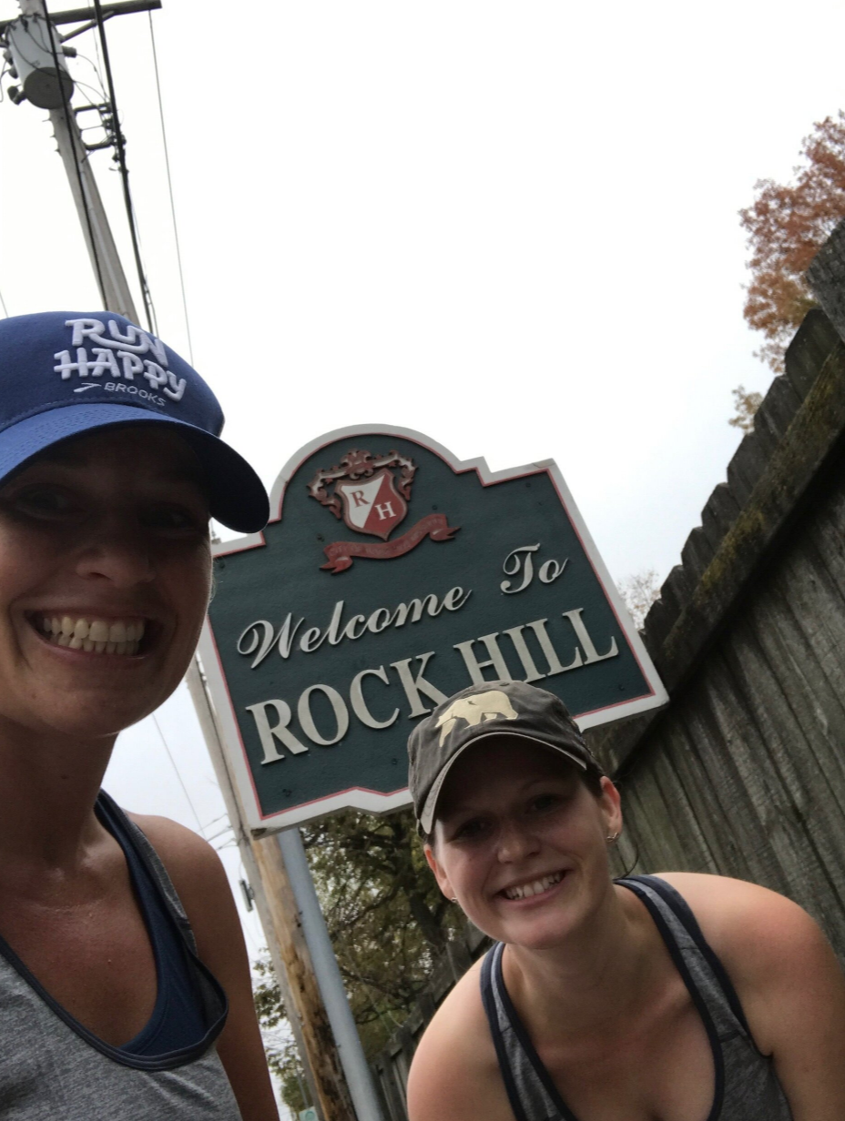
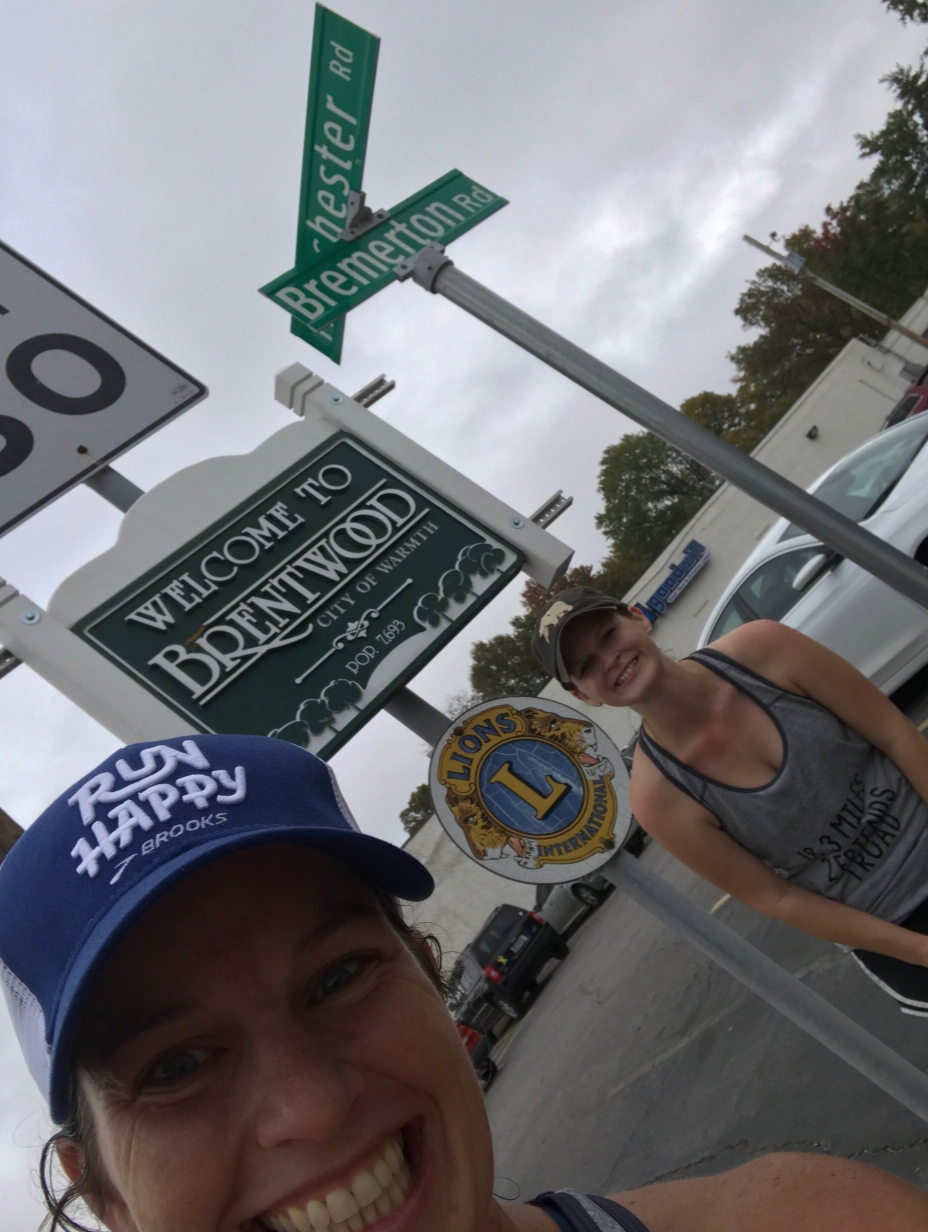
We crossed many municipal boundaries. We went through Ballwin, Twin Oaks, Valley Park, Unincorporated St. Louis County, Des Peres, Kirkwood, Warson Woods, Glendale, Rock Hill, Brentwood, Maplewood, ending in the City of St. Louis. More than 10 jurisdictions! This has all kinds of implications when it comes to urban planning, the most notable of which during our run was the quality of sidewalks. They come and go in different cities. The quality, width, and condition of the sidewalks also vary widely.

The nature of Manchester Road fluctuates. In some places, Manchester Road feels like a highway, serving as a major thoroughfare for thousands of cars a day. In others though, like Maplewood (mile 12), the road has a Main Street-like feel, lined with small, pedestrian-oriented businesses.
Economic development comes and goes. Parts of Manchester are home to thriving businesses districts such as the Grove in St. Louis City (mile 14). Others are home to large tracts of empty land or vacant retail. Some parts include auto-centric businesses, while others rely on foot traffic. Part of this inconsistency is because the nature of the road changes. In other areas, having a more robust economic development or planning department has helped facilitate higher-quality development.
My favorite part? We were reminded that people are kind. Along our way we ran into friends, coolers full of water bottles for runners, and plenty of nice waves. Cities are made up of people – and those people are what make places great! Urban planning considerations aside, the adventure reminded me of just why I became a planner – to make cities better for the people who live here.
Our Manchester Road adventure helped to illuminate some of the major issues that cities are facing these days. Jurisdictional boundaries create a lack of consistency, good planning requires a streamlined approach, and municipalities have to be committed to safety. Without all three, we are left with a corridor in need of improvement.
So, where to next? I’m taking suggestions for long roads that will lead us to interesting places!